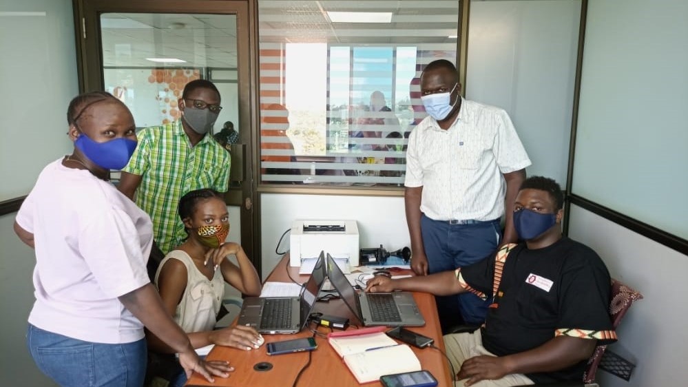
OpenStreetMap Uganda is having an internship program which runs on a cohort basis which runs for three months each. All persons are eligible for this internship. A call is usually put out at the end of each cohort to allow new interns to apply for the internship and the selected individauls can be able to take part in this internship. The internship does not target only the local community but also the internationl community since the internship is online.
Status: Complete

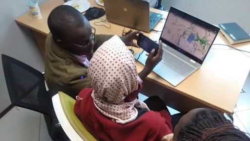
Five years ago, Morish Awania took up a new role as a security guard in Kampala, Uganda after missing out on an opportunity to complete his high school education due to financial constraints. Then, Morish joined the Humanitarian OpenStreetMap Team (HOT Uganda)* as a security guard two years ago where he developed an interest in OSM as he watched his colleagues taking part in mapping activities. This marked the beginning of a new and uncharted career path for Morish.
Status: Complete
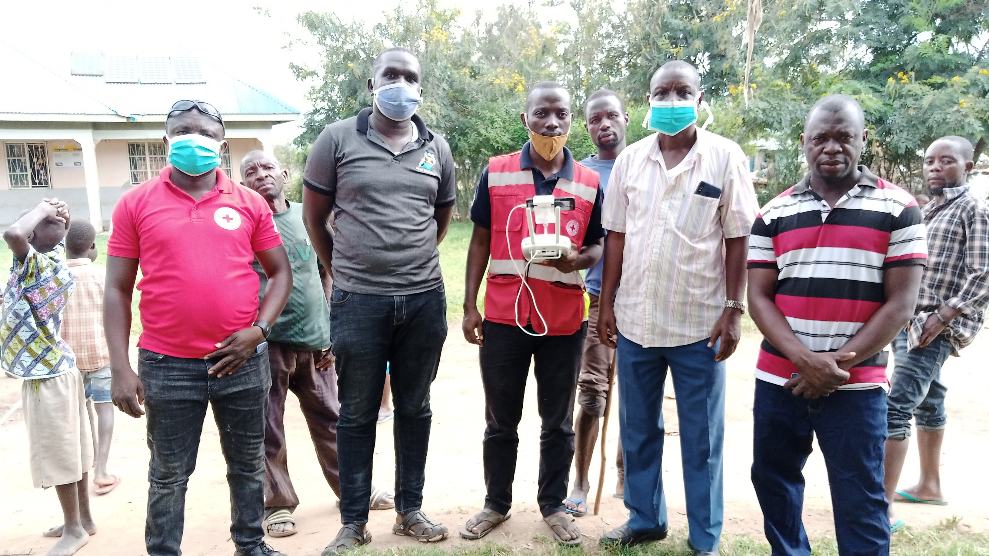
OpenStreetMap Uganda with support from the Uganda Red Cross Society from the 25th to the 28th of the November 2020 set out to assess and determine the extent of the floods in Kanara Subcounty and Kanara Town Council in Ntoroko District just south of Lake Albert using GIS, Drone Technology and Photogrammetry.
Status: Complete
Status: Complete

Status: Complete
Status: Complete
Status: Complete
Plot 90,Hive Colab 4th Floor, Kanjokya House, Kanjokya Street
info@mapuganda.org
+2567 0134 4950